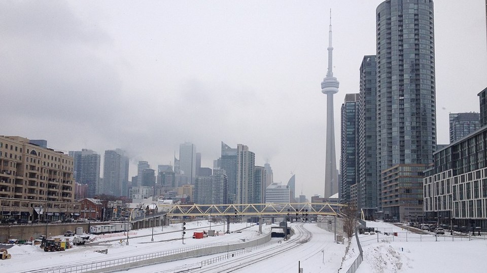
A massive area of low pressure known as a "polar vortex" is set to bring some unusually cold weather to North America next week and it does not appear Toronto will escape its icy grip.
Temperatures are likely to drop beginning on Sunday, according to Dave Phillips, a senior climatologist with Environment Canada. In the latter half of next week, the weather will grow more moderate but could stay cold by Toronto standards through the end of the month.
Phillips told TorontoToday the city will experience something of a January thaw in the coming days before the very cold weather really sets in on Sunday.
The Environment Canada forecast for Toronto on Thursday afternoon shows above freezing temperatures and even a chance of rain through Saturday, before giving way to a daytime high of -8 C on Sunday and Monday, before dropping to -11 C on Tuesday. Temperatures are expected to rebound to a high of about -8 C again on Wednesday.
There is a chance of flurries to go along with the cold weather Monday through Wednesday.
Continental system pushes Siberian cold air
The Weather Network said Toronto's Pearson International Airport will see overnight lows dipping to about -18 C on Monday night, with a wind chill in the -20s.
"It's a system coming across the pole from Siberia," Phillips said. "It's going to take over. It's really a continental system."
Phillips said while temperatures will not be near record breaking, Toronto could be looking at "cold in the long run" once the cold snap ends with daytime highs below the -2C mark that would be considered seasonal for the city this time of year.
"This is the cold moment — the dead of winter," Phillips said, describing the time in mid-January when the city can experience its most wintry days.
Phillips said it's debatable whether it's correct to use the term "polar vortex" to describe what is on the way. He said the term really caught on in 2014 during a stretch of brutally cold weather. At the time, it was the coldest weather Toronto had experienced in 20 years.
Either way, we're definitely going to be feeling some "pretty cold air" in the days to come, the climatologist said.
Cold in the U.S.
Thankfully, Toronto seems to be on the edge of the area expecting these frigid temperatures.
The brunt of the Arctic blast appears headed for the Prairies and even parts of northern Ontario with temperatures dipping dangerously into the -30s to -40s in some areas on Saturday and Sunday, according to The Weather Network.
Much of the continental United States is also in for much colder than normal weather.
Phillips said it is ironic that what Americans will likely refer to as "Canadian air" could settle in just in time for the inauguration ceremony of U.S. President Donald Trump, who has recently expressed his enthusiasm for making Canada the 51st state.
